
Search a Newton Street by Parcel
Start with the exact number and spelling used now. Enter it in the City of Newton Assessor MapGeo property search, then record the displayed address, current-owner field, SBL parcel identifier, sale clues, and any Legal1 Book/Page reference. MapGeo is a useful Newton street-directory starting point because it connects one location to the city’s parcel system. It is assessment data, though. An owner field is not proof that every person associated with an address lives there.
- Search the number and street in MapGeo, preserving the SBL and the address exactly as returned.
- Open the same location in the GIS Browser and inspect adjacent parcels, address layers, and the street’s placement within Newton.
- Use the SBL, Book/Page, or legal description in the Middlesex South Registry search to identify the recorded transaction.
- Read each deed’s grantor and grantee, then work backward through earlier transfers instead of assuming an owner field describes an occupant.
- For a historical address, compare the house section of a Polk directory, resident lists, newspapers, maps, and the street variants used in that period.
That sequence keeps the Newton street directory tied to records that actually use an address. A sale, mortgage, plan, or permit can add context, but each shows a different role. Keep the document type beside every name.
Note: Record both the modern street name and any village label before moving between Newton GIS, Registry, library, and historical sources.
Newton Street Directory MapGeo Fields
MapGeo exposes four practical starting fields: Address, Co-owner Name, Owner, and SBL. It also provides spatial filters, sorting, abutter tools, map themes, printing, sharing, and selection controls. For an address search, begin with Address and use SBL as the bridge to deeds and GIS. A separate owner mailing-address field was not exposed in the inspected public interface, so a tax correspondence address should not be inferred from a parcel result.
| Field or Control | Type | Required | Newton Street-Search Use |
|---|---|---|---|
| Address | Text or map attribute | No | Start with a Newton number and street, then compare variants. |
| Owner | Text | No | Find a Newton owner field, not a current-resident field. |
| Co-owner Name | Text | No | Check a second party where the record displays one. |
| SBL | Text | No | Carry the identifier into Newton deed and GIS work. |
| Spatial Filter | Map control | No | Use distance, area, or abutter tools around a selected Newton parcel. |
| Sort | List control | No | Organize a returned parcel result list. |
| Abutters | Map action | No | Move from a Newton parcel to nearby parcels. |
| Layers | Dropdown or toggle | No | Compare Newton zoning, flood, historic, ward, ZIP, and building context. |
| Owner1 | REST result field | Result | Shows the current-owner value. |
| AddressNum and Street | REST result fields | Result | Show the Newton situs address. |
| Legal1 | REST result field | Result | Provides the Newton last Book/Page clue where available. |
| Sale_Date1 and Sale_Price1 | REST result fields | Result | Provide a Newton transaction clue, not proof of residency. |
The Newton MapGeo property search illustrates the address-first controls used in a Newton street directory search.
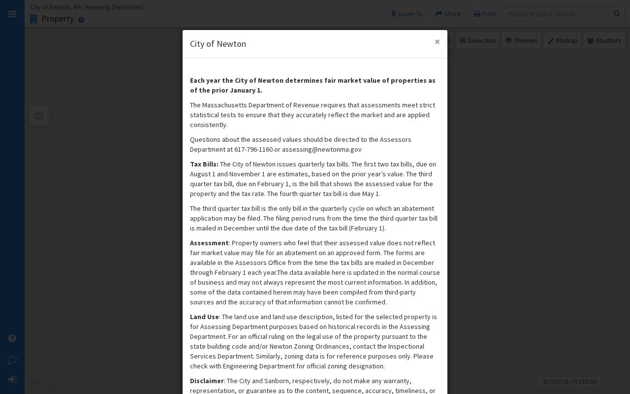
Use its result as a Newton parcel lead, then verify any important detail with Assessing, Inspectional Services, Engineering, or the Registry.
Browse a Newton Street in GIS
The Newton GIS Browser adds the street-wide map view that MapGeo alone cannot provide. Type an address into the upper-left search box, select the parcel, and scroll the information panel for assessing, permitting, and historic details. The layer menu includes addresses, buildings, property boundaries, streets, wards and precincts, ZIP Codes, zoning, wetlands, flood zones, historic districts and properties, and aerial imagery. These layers help distinguish a street segment or nearby parcel from a complete list of people.
For a whole street, use the map extent or a parcel query, sort results by AddressNum and Street, and inspect each SBL in turn. The parcel REST service supports attribute, SQL, distance, and geometry queries and contains roughly 24,200 polygons. That makes the Newton GIS system a strong records-geography tool, not a household roster.
The Newton GIS Browser shows the layers and parcel context available for a street-by-street inspection.
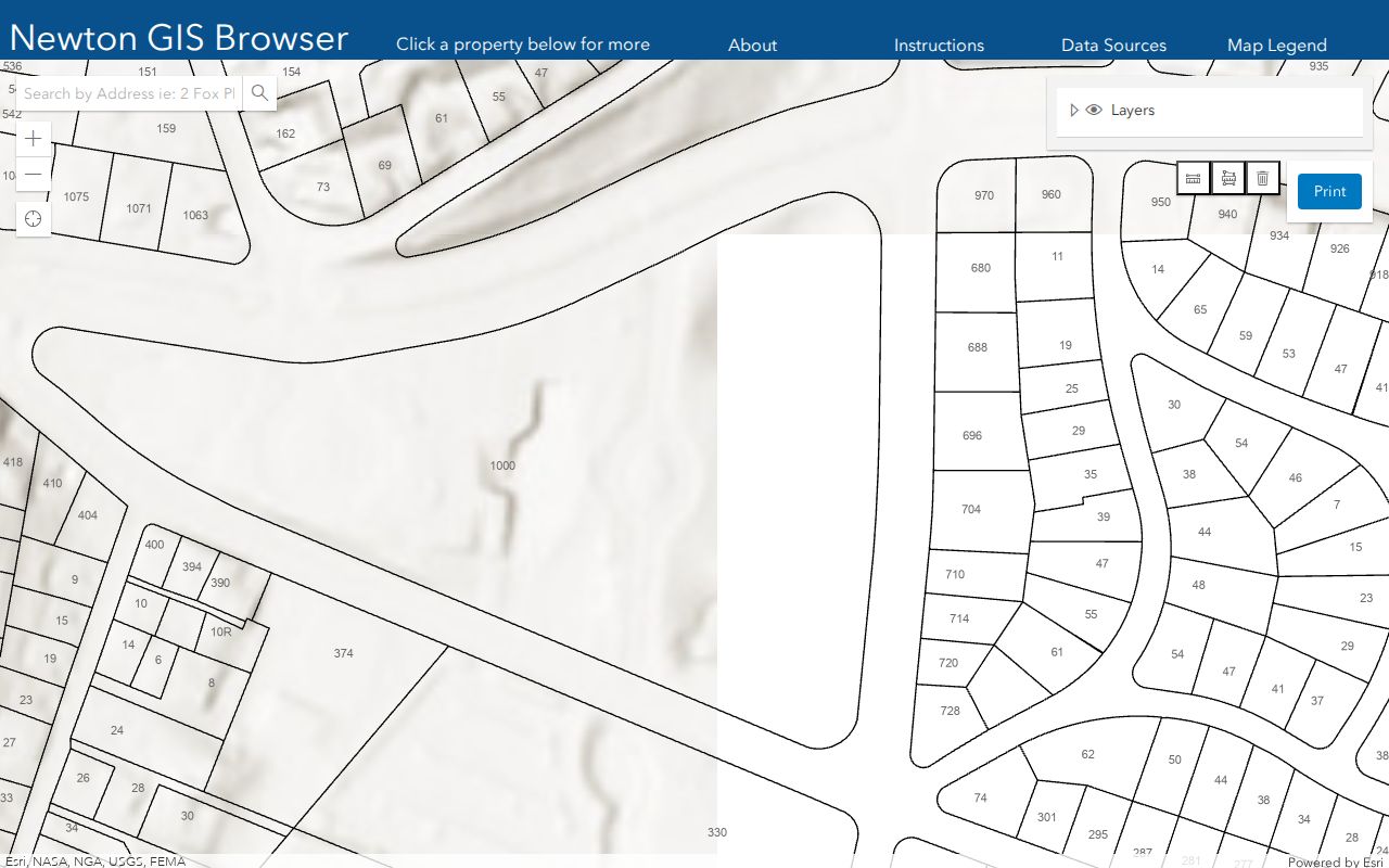
A Newton parcel selection can also reveal why an apparent address match needs a second check, such as a different legal reference, lot shape, or municipal boundary.
Note: Newton GIS warns that its data are not warranted and should not be the only basis for an important decision.
Newton Street Directory Record Coverage
Address-keyed sources differ in what they can establish. The current parcel layers identify a property and its recorded owner field. Registry records document transactions and legal interests. Permits name a record-specific applicant or requester. Historic volumes associate a person with an address for a particular year. Comparing those roles is more reliable than treating any one result as a definitive list of people on a Newton street.
| Address Record | Newton Keeper | What It Can Show | Access Route |
|---|---|---|---|
| Newton MapGeo parcel | Newton Assessor | SBL, current owner, situs, land use, value and sale references | Free online Newton MapGeo |
| Newton GIS Browser | Newton GIS | Parcel shape, address, layers, historic and permitting context | Free Newton viewer |
| Newton tax self-service | Newton tax system | Address, owner, parcel, bill, and tax-year paths | Free online, with current-data caveat |
| Deed index and image | Middlesex South Registry for Newton | Parties, document type, Book/Page, date, image, legal description | Free online, office, certified-copy routes |
| Newton Registry plans | Middlesex South Registry | Plan number, parties, date, and image | Free portal and unindexed mode |
| Building permit | Newton ISD | Address, permit number and date, requester or applicant, work record | ViewPoint or Plan Search |
| Newton annual census | Newton City Clerk | Residents reported at an address as of January 1 | Annual form; public export not confirmed |
| Newton historic directory | Newton Archives and Library | Person, address, occupation, spouse clues, house section | Digitized and on-site holdings |
Newton tax self-service supplies another address, owner, parcel, bill, or tax-year path. It asks for a house number plus street with no suffix in address mode, uses owner last name then first name without a comma, and requires parcel numbers without dashes. It is best used to corroborate an assessor record rather than replace it.
Newton Street Deed Chains
Once MapGeo supplies a Book/Page or SBL, use MassLandRecords for Middlesex South to check Recorded Land, Registered Land, Plans, or Registered Land Plans. Recorded Land offers Name, Document, Book, Property, Recorded Date, and Unindexed Property search modes. Results identify indexed parties, a document-number link, document type, recording information, and an image. Current searching and images are free without an account, although popups and Adobe Reader may be needed.
- Parcel
- A mapped unit of land. Newton’s SBL or MAP_PAR_ID identifies the parcel in the city system.
- Situs address
- The physical location of a parcel, which can differ from a correspondence address.
- Plat
- A recorded plan or map that helps describe land or lot boundaries.
- Criss-cross directory
- A house or street section that organizes entries by address rather than by surname.
Read the purchase deed to see the current owner as grantee and the seller as grantor. Work backward by finding the seller as grantee in an earlier transaction. Mortgages, discharges, and plans belong in the file too, but they do not all transfer ownership. If Legal1 is blank, try property criteria, address variants, or Registry staff instead of treating the blank as a missing history.
Grantor Scans for Newton Streets
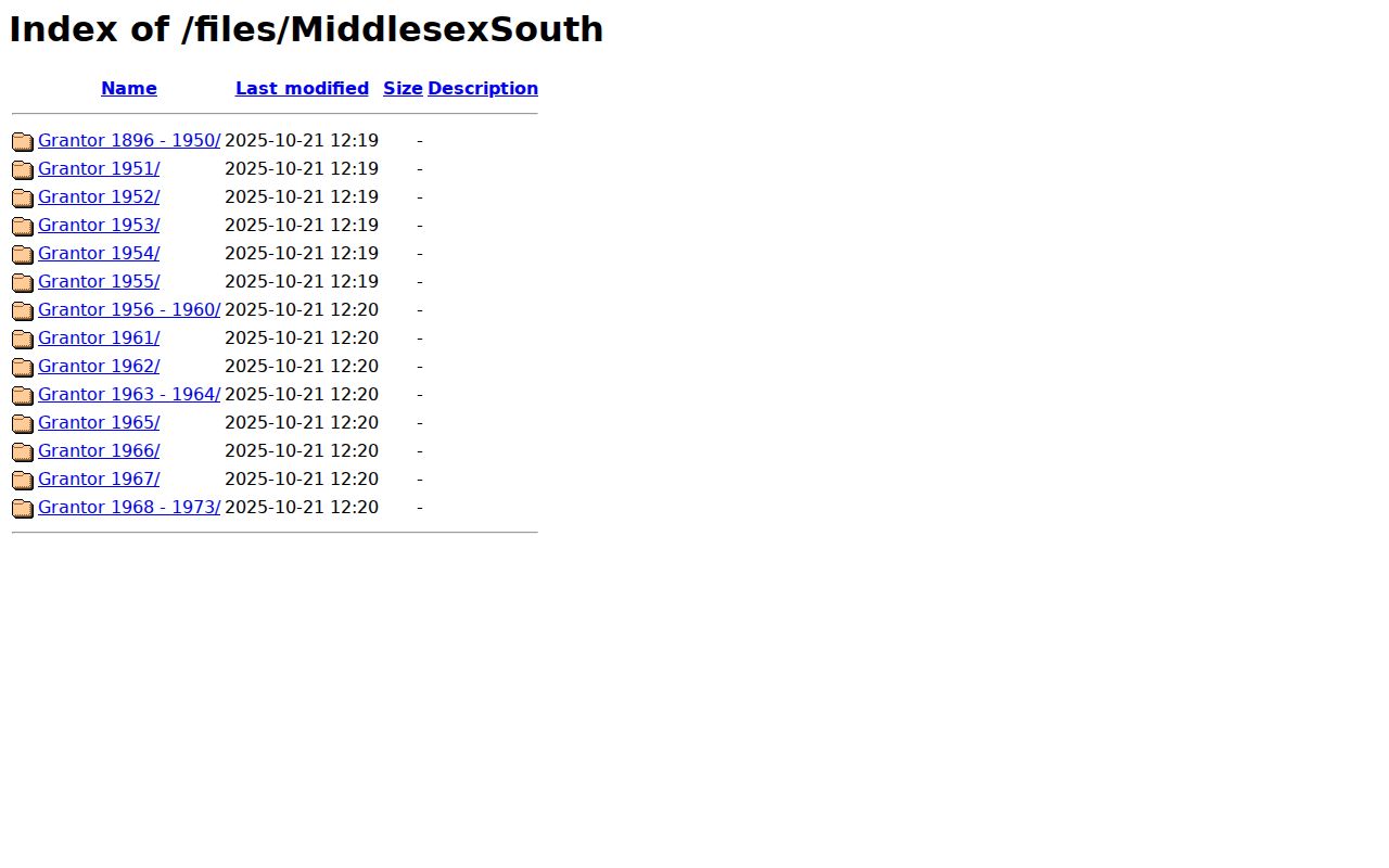
Middlesex South announced online Grantor Index scans for 1896 through 1973 in October 2025. The scanned directory can show a date, grantor or party, instrument, grantee or party, Book/Page, town, street or location, and notes. For a Newton street directory search that reaches older ownership, those fields can connect a street spelling or legal description to a particular book and page. The announcement does not establish an earlier name-search cutoff.
The Middlesex South scanned Grantor Index directory provides the year folders for this confirmed run.
For an unindexed or older record, use a known Book/Page, the portal’s unindexed-property mode, Registry staff, the public research room, or a narrow request. Certified copies are available at the Registry Welcome Desk, by mail, or by email for pickup; online copies are free but may not be certified.
Newton Street Permits and Requests
Permit history can place work at an address, but it does not establish who lived there. Newton ISD ViewPoint is the online permit destination, although its inspected field set was not text-exposed. The Plan Search PDF route provides a $25 permit-number search with date, property, permit, and requester fields. Delivery is pickup-only, and the form does not accept requests before 1911.
When a needed address record is not in an online index, contact Newton ISD or submit a focused request through Newton NextRequest under the Massachusetts Public Records Law. Give the address, date range, record type, and any permit number or SBL. That scope helps the custodian locate a defined record without implying that a complete address roster exists.
Note: A permit date records when a matter was filed or recorded, not necessarily a construction date or a move date.
Newton Street List Limits
Massachusetts’ Voter Registration Search is for individual status verification, not a street-wide query. It requires first name, last name, date of birth, a five-digit residential ZIP, and an acknowledgement. Its result can return registration or pre-registration status, active or inactive status, polling location, and official assignments. It does not return an all-voters-by-street screen.
Newton Elections and the City Clerk are the local fallback for status, ward, precinct, timing, and lawful file requests. Newton Elections lists 617-796-1200 and elections@newtonma.gov. The city’s annual census is mailed to households and asks for residents as of January 1, but a complete public export and its fields were not confirmed. A specific dated street-list administrative record may be requested under the Massachusetts Public Records Law, subject to privacy exemptions and protected-address procedures.
A missing voter result does not settle whether someone lives at an address. New registrations can take two to three weeks to appear, inactive status can follow annual-census nonresponse, and protected voters or Address Confidentiality Program participants may not show an actual address.
Newton Villages Change Street Labels
Newton is one city with thirteen named villages: Auburndale, Chestnut Hill, Newton Centre, Newton Corner, Newton Highlands, Newton Lower Falls, Newton Upper Falls, Newtonville, Nonantum, Oak Hill, Thompsonville, Waban, and West Newton. A current street directory search may encounter a village label in a printed directory, a postal variation such as Newton Centre or Newton Center, and a modern map label at the same time. Search those variants and retain the printed form in your notes.
The city has not supplied a verified specific street-renumbering or renaming year in the reviewed sources. Bridge a suspected older address with cross streets, parcel geometry, SBL, legal description, old maps, and adjoining properties. Chestnut Hill adds a second caution: its 02467 postal area reaches well beyond Newton, so a postal label alone does not identify the correct municipal custodian.
Newton Street Directory History
Newton’s historical directory trail begins in 1868. Polk volumes generally appear every second year through 1934, followed by a 1936 through 1985 run. The house or street section makes those books valuable for address work, while the alphabetical section helps confirm how a person was listed in that year. Resident lists, newspapers, obituary cards, yearbooks, microfilm, Sanborn maps, and atlases at the Newton Free Library can help test an older address association.
Use the Newton Free Library Local History collection for the on-site and digital paths, including non-circulating material and rare items that may require an appointment. The historical directory volumes themselves are described in more depth in the Newton Directory Book. A directory entry documents an association for its publication year, not an uninterrupted residence.
Note: A missing directory year can reflect a publication gap, so compare nearby years before drawing a conclusion.
Newton Street Directory Privacy Limits
A Newton street directory cannot supply a complete household list. Parcel results identify property and ownership fields. Deeds identify transaction parties and legal interests. Permit records identify roles within a filing. Public voter tools are individual verification tools, and protected participants may have their actual address withheld. Utility customer information was not public in the sources reviewed, and the city’s inspected parcel layer does not expose Social Security numbers, a complete account record, or household-member fields.
For correction or access questions, contact the office that holds the underlying record. The City of Newton Assessor can be reached at 617-796-1160 or assessing@newtonma.gov; Registry staff, the City Clerk, and Newton Elections each handle separate record types. The Massachusetts Public Records Law is a route for defined municipal records, not a way to turn protected or nonpublic information into a public street list.